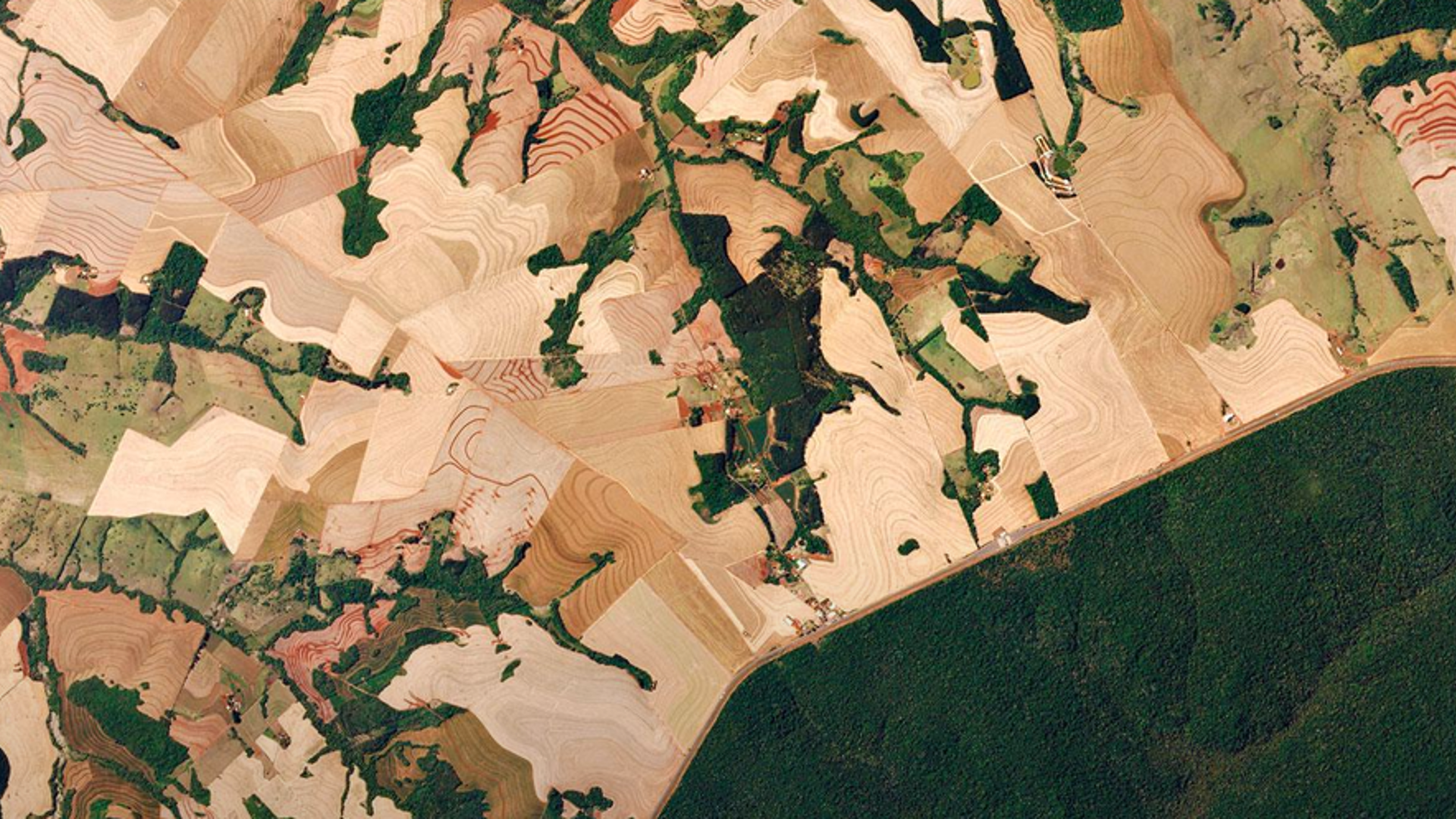
De Jong is originally from Friesland and descends from a farming family. He outlines how quickly farming has changed. "My grandfather used his hands, horses and a plough. It was not until 1962 that a tractor came into his company. If you compare that to today, the technical possibilities have increased enormously. For example, farmers work with artificial fertiliser, genetically modified crops and also with satellites to monitor their soil." This technology is also very interesting for insurers, he argues.
"Insurers can use the satellite images to monitor what drought, fire or flooding has done to crops. In addition, they are very suitable for insurers who offer parametric (index) insurance. These are insurances where the insurer pays out within certain parameters (for example, between wind force 8 and 12). The satellite measurement determines whether payments are made. Insurers can also use the images to investigate claims, for example whether a harvest has actually been destroyed."
About Planet Labs
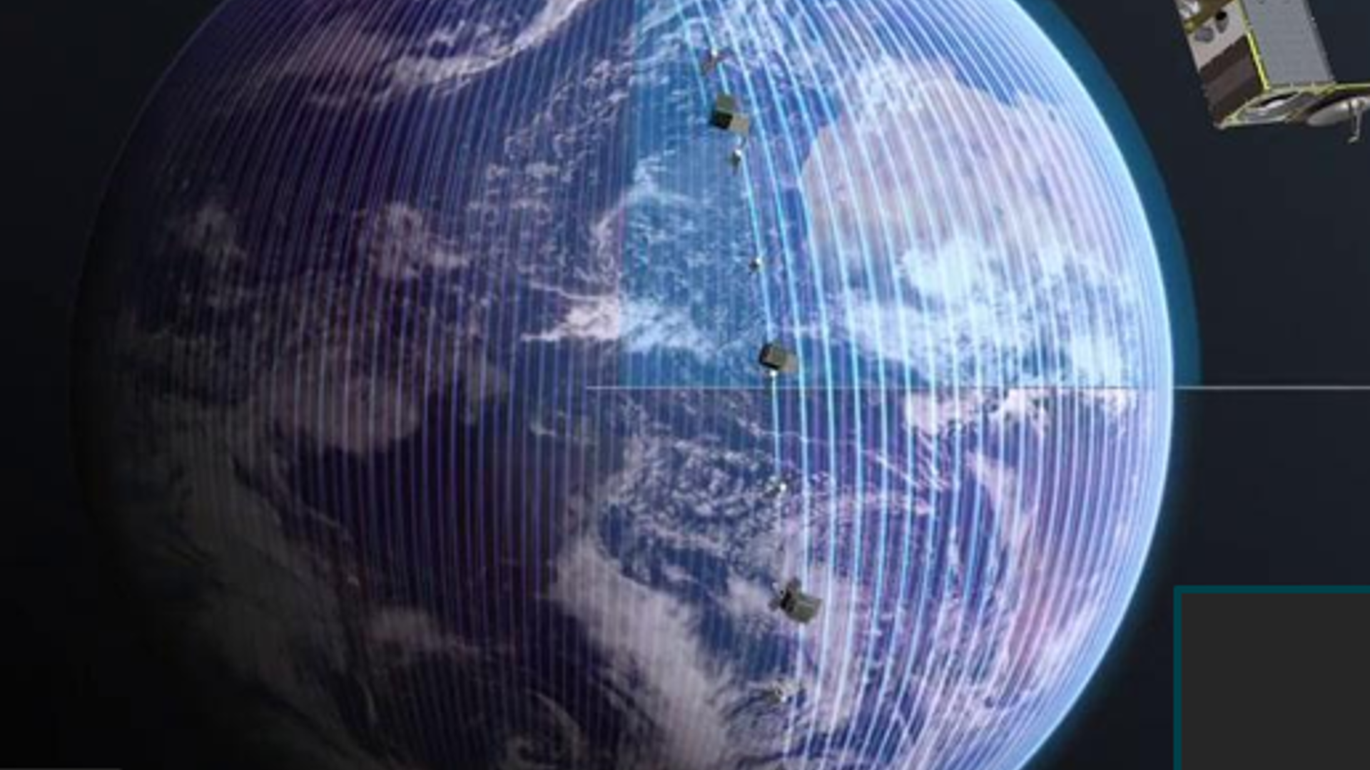
 Originally from the United States, Planet Labs has more than 200 satellites that fly in orbit around the earth. They fly from the north to the south pole and are the size of a milk carton. The satellites are made in San Francisco and shot into the sky with rockets from Space X. The European headquarters are in Berlin. In the Netherlands the organisation is based in Haarlem.
Planet Labs works with an ecosystem of partners. These partners often provide additional information, such as information about the harvest and schedules for claims handlers. "We prefer to deliver the data in existing applications, such as a claims system or an underwriting system. However, insurers can also only use it as an extended version of Google Maps," De Jong clarifies.
Insurer pays out 7.9 million euro immediately based on satellite images
In his presentation during the AIAG Congress 2025 he discusses two specific parametric insurances. "At the end of 2024, Assad was overthrown in Syria. Due to the persistent drought, the World Food Program has taken out index insurance with Swiss Re. This index is based on our satellites and the measurement of the harvest. Our images then showed that there was a huge drought in early 2025, after which Swiss Re immediately paid out 7.9 million.
Especially for areas that are difficult to access due to war or violence, you can quickly build an instrument that works with satellites." This insurance is based on Normalized Difference Vegetation Index (NDVI). Another example is drought insurance based on Soil Water Content (SWC). This was developed in The Netherlands for the water board and agricultural applications. SWC is now also used by insurers such as Vereinigte Hagel in Croatia and Vienna Insurance Group in the Baltic States.
"Especially for areas that are difficult to access due to war or violence, you can quickly build an instrument that works with satellites"
NDVI and SWC
NDVI stands for Normalized Difference Vegetation Index and is a widely used indicator in agriculture and insurance, especially in drought insurance. SWC stands for Soil Water Content and is — like NDVI — an important indicator that can be used in index insurance against drought.
Role of claims handler is changing
Finally, according to De Jong, the use of satellites changes the role of claims handlers at insurers. "What this technology makes possible is that you can check almost in real time what the situation is on every field on earth. You can not only see optically what is happening, but also analyse whether there is damage. For insurers, it is a very valuable source of objective information about the yield of the harvest and any damage. Within the insurance industry, we are moving towards a situation in which insurers automatically pay out when certain insured events occur based on satellite data. This automation provides great efficiency opportunities. You can look back in time, worldwide and investigate exactly what was going on. The role of a claims handler will change as a result. He or she will become more of an adviser and use technology to substantiate his or her judgement."
 Berend de Jong
Berend is the Global Insurance & Finance Lead for Planet Labs. He is involved in the development and implementation of new satellite data services for the insurance and financial sectors. He supports customers in product design and guarantees continuity of service. Planet Labs provides data and insights to insurers with about 200 satellites that scan the entire earth every day. Insurers use this data to improve claims assessments (before and after an incident), audit properties, monitor the progress of collateral and construction work, and act as an independent source of ESG ratings.